Site planning support
Conceptual layouts that explore access, circulation, building placement, parking, and the practical constraints of your property.
Discuss this service ↗ Start a project ↗
Flexible support for civil & design firms
Based in Parker, Colorado, Bash Civil LLC provides experienced civil site-design and drafting support when your team is facing a busy schedule, staffing gap, or demanding deadline.
What I do
Flexible civil engineering design support for conceptual layouts, grading and drainage, utility plans, CAD production, redlines, and plan revisions—serving project teams in Parker, the Denver metro area, and throughout Colorado.
Conceptual layouts that explore access, circulation, building placement, parking, and the practical constraints of your property.
Discuss this service ↗Clear plan production for proposed grades, drainage paths, earthwork intent, and stormwater concepts developed with the project team.
Discuss this service ↗Coordinated water, sanitary, and storm utility drawings that help the project team identify conflicts early.
Discuss this service ↗Clean CAD production, redline incorporation, plan revisions, exhibits, and drawing support for licensed design professionals and project teams.
Discuss this service ↗Selected work
Actual examples of site planning, grading, stormwater, utility, erosion-control, and plat drafting completed by Bash Civil.
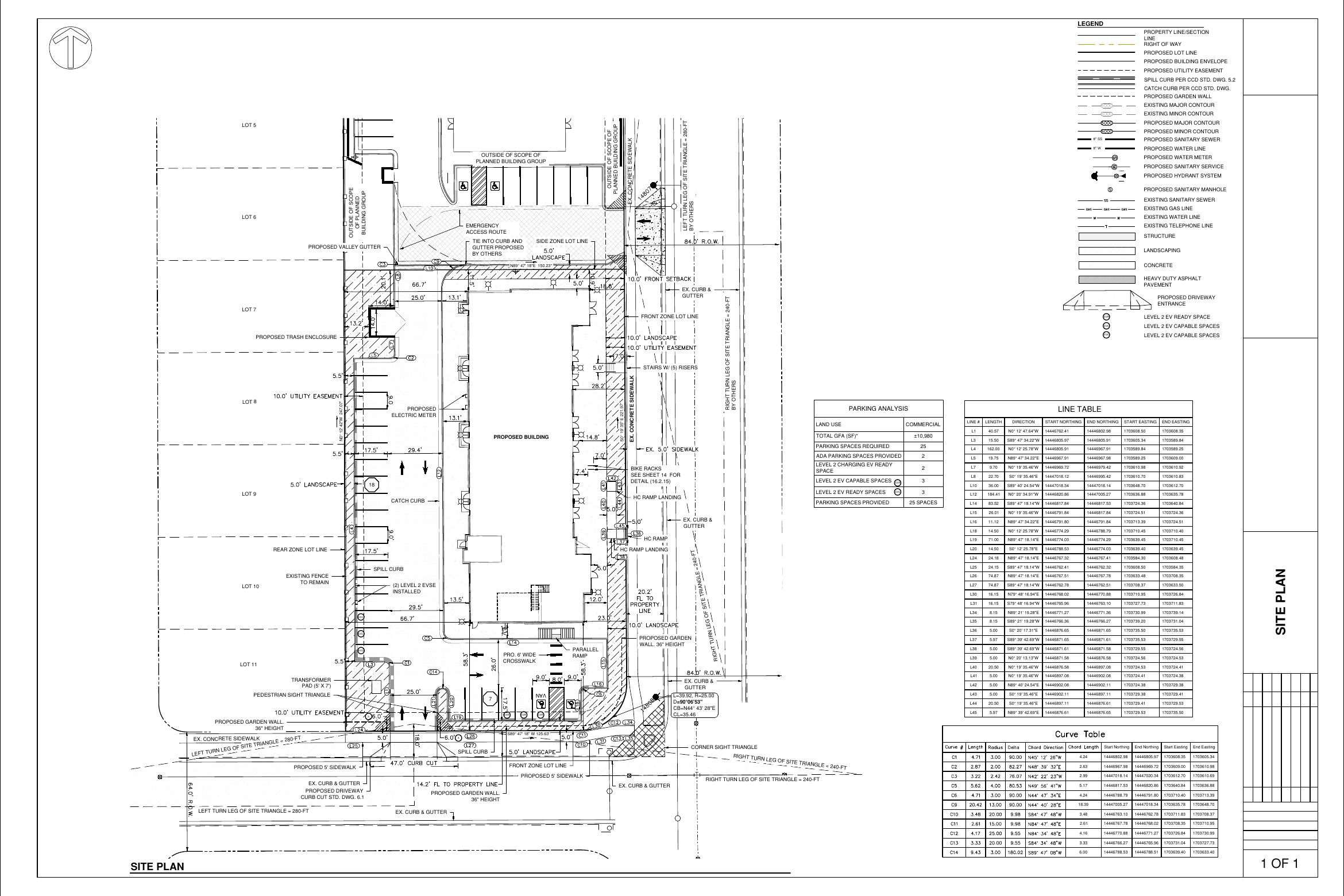 VIEW SHEET ↗Site planning
Building placement, parking, accessible routes, circulation, setbacks, and site constraints coordinated in one clear drawing.
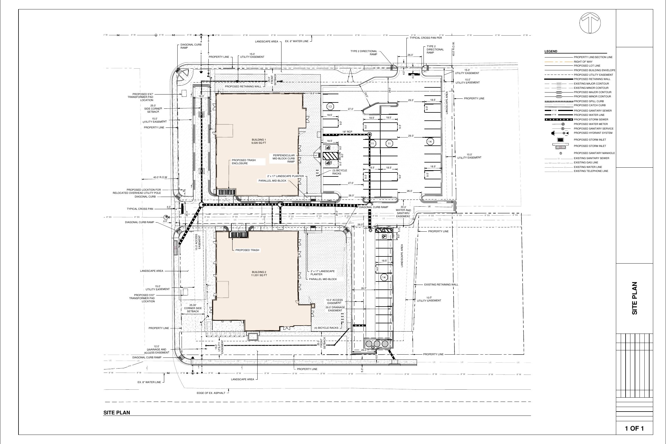 VIEW SHEET ↗Site planning
A coordinated commercial layout showing buildings, parking, access aisles, landscape areas, and site circulation.
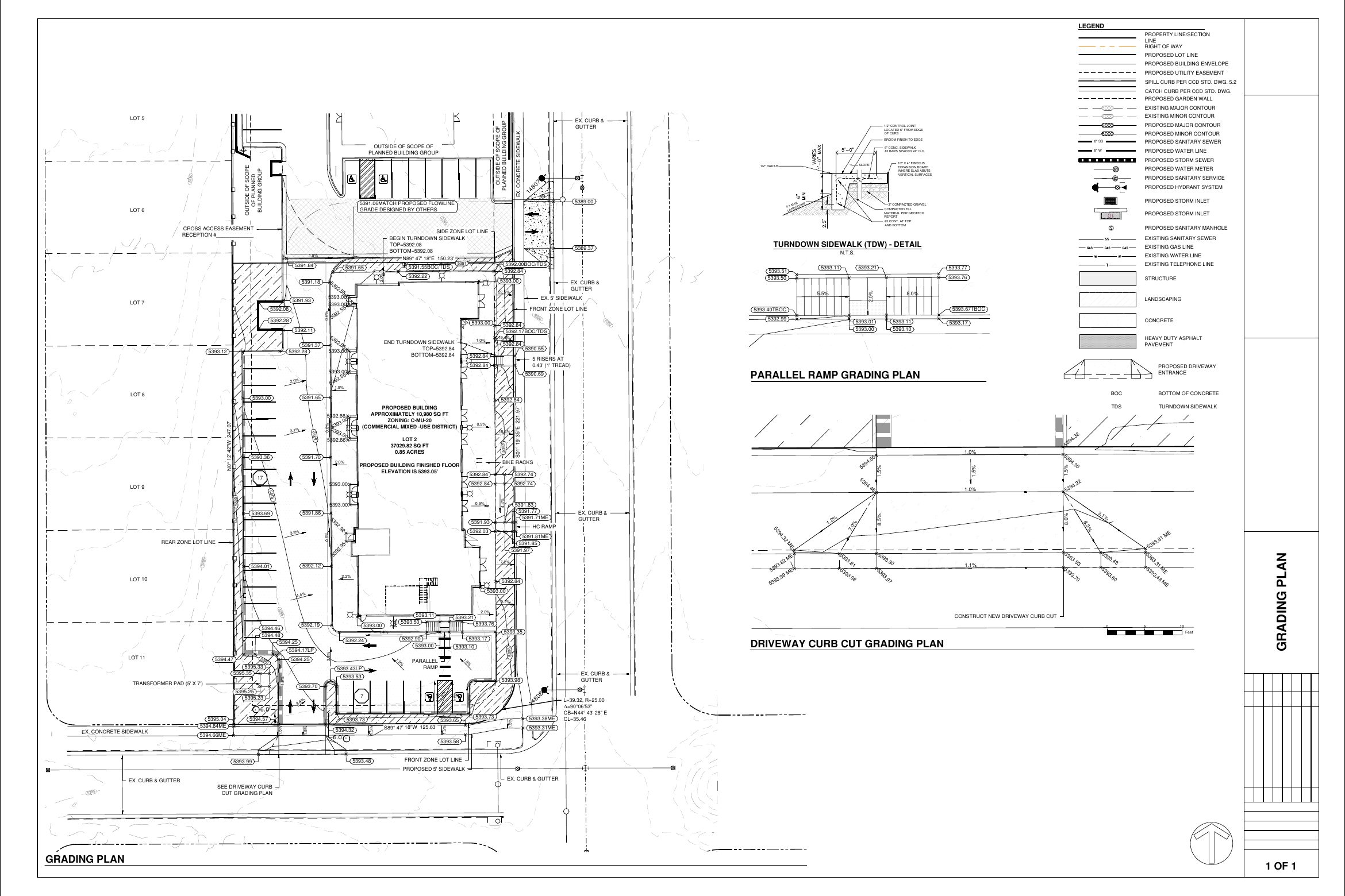 VIEW SHEET ↗Grading
Proposed spot elevations, slopes, accessible routes, finished-floor elevations, and drainage intent developed across the site.
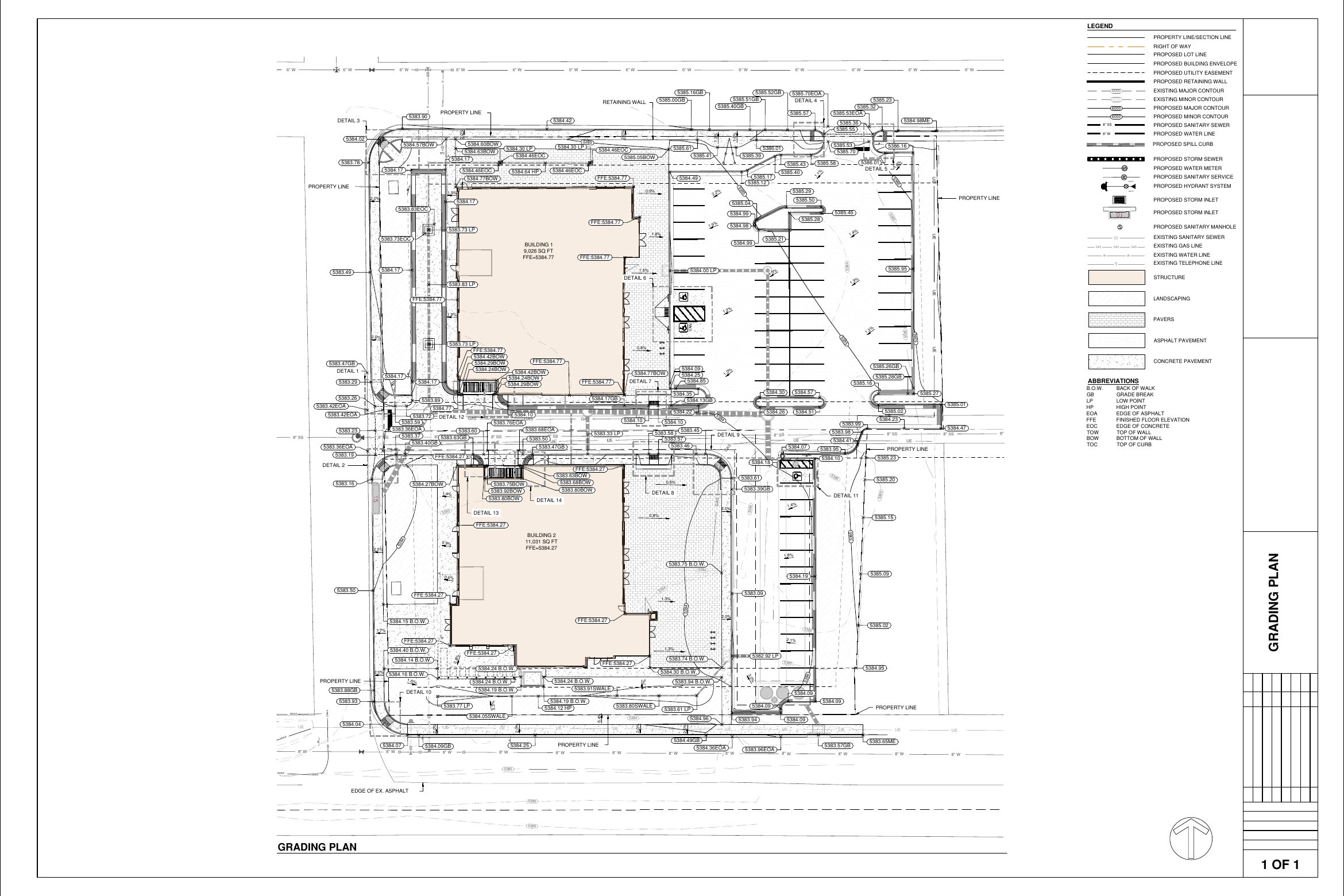 VIEW SHEET ↗Grading
Detailed grading coordination around buildings, parking areas, walks, walls, curb ramps, and site boundaries.
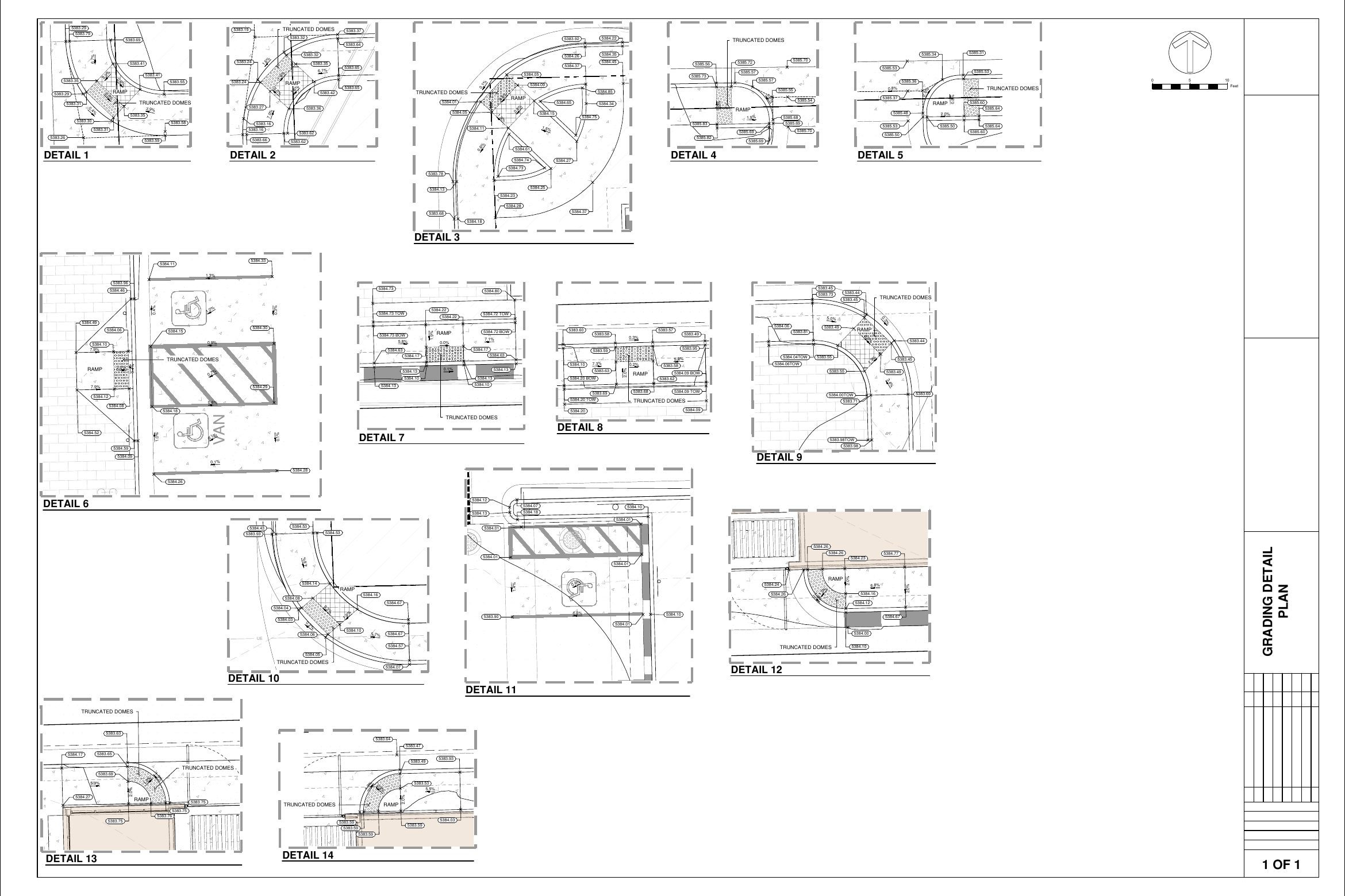 VIEW SHEET ↗Grading details
Focused curb-ramp and accessible-route grading details with spot elevations, slopes, and transitions clearly documented.
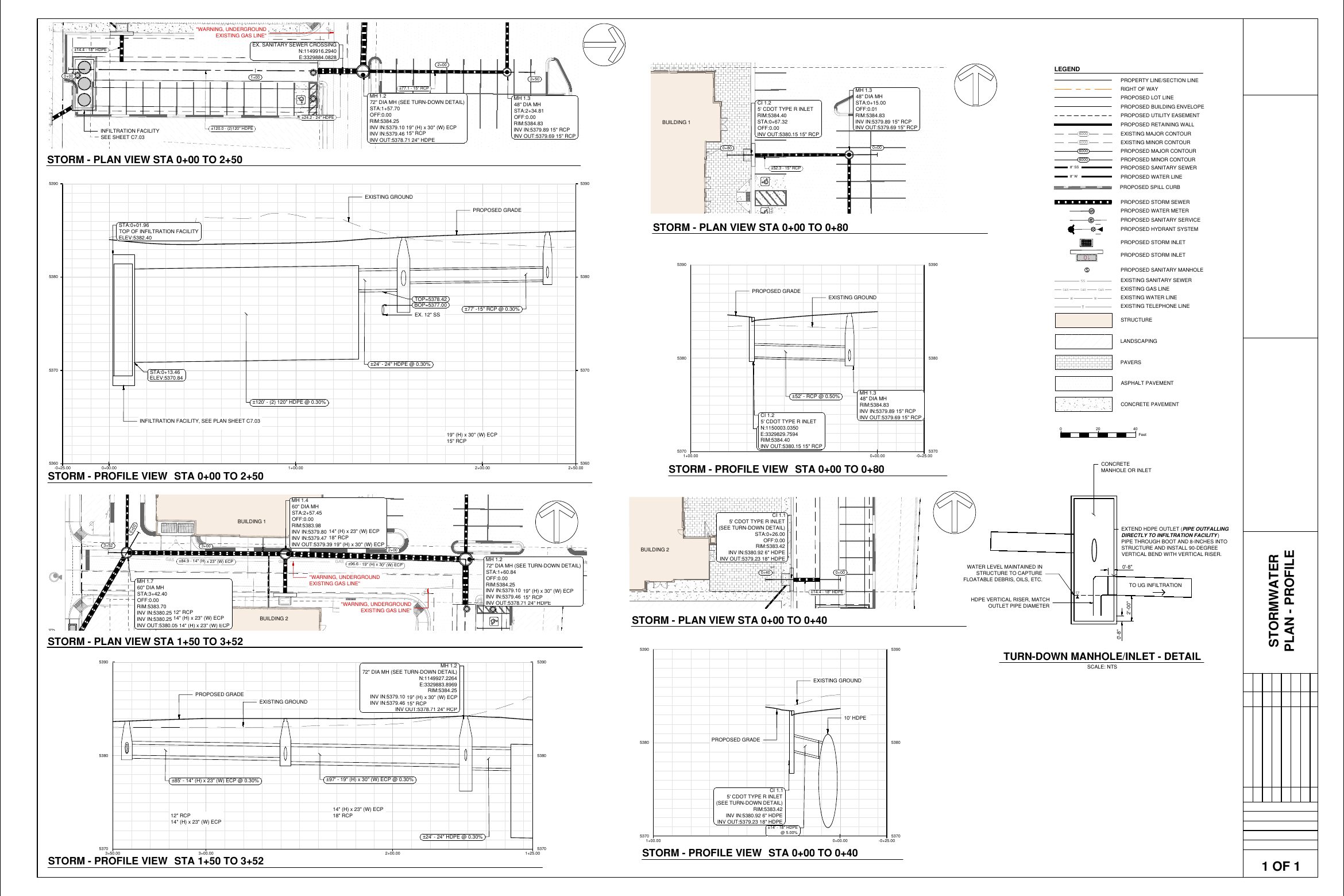 VIEW SHEET ↗Stormwater
Storm-drain plan views, profiles, structures, pipe connections, and infiltration-system details presented on one coordinated sheet.
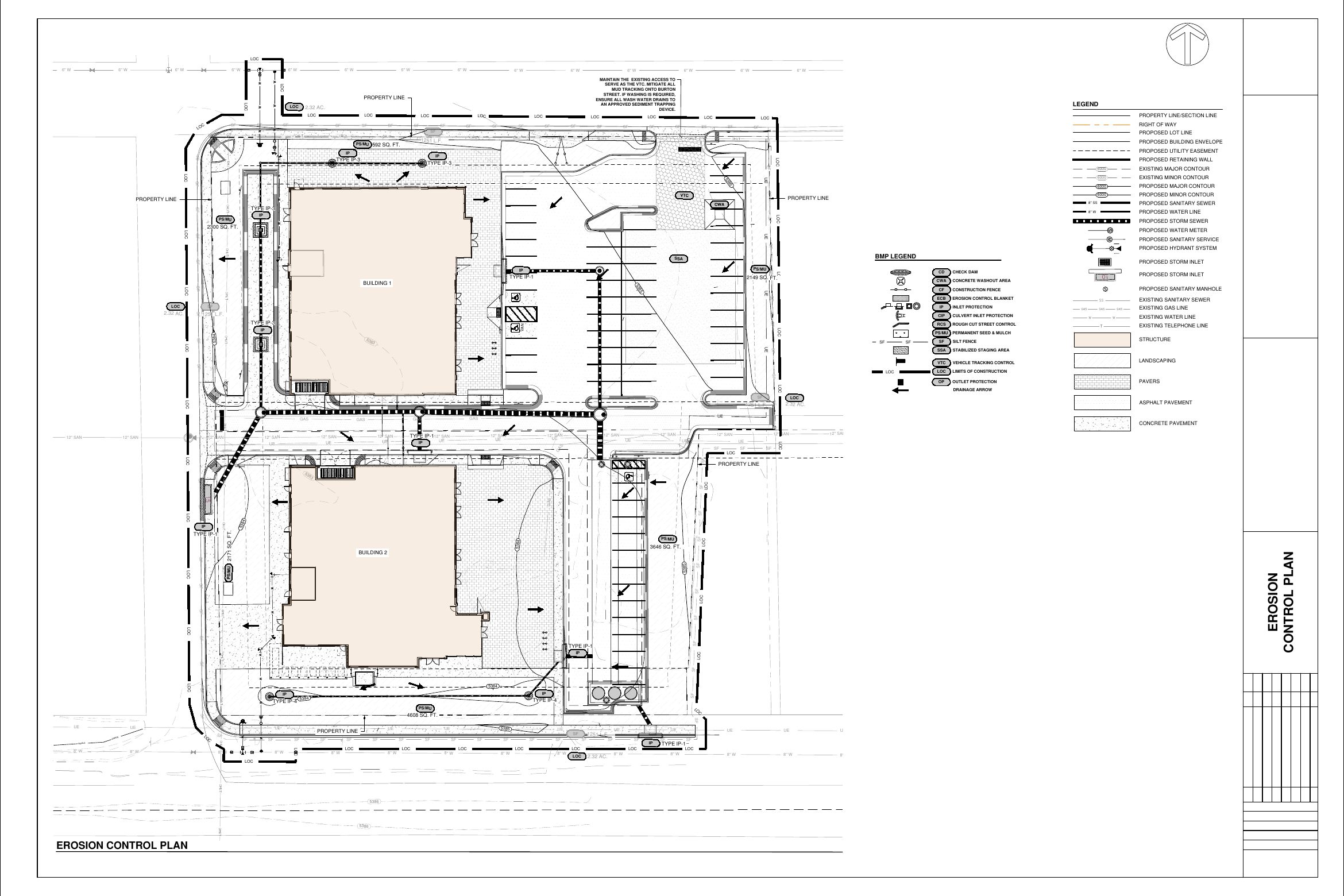 VIEW SHEET ↗Erosion control
Limits of construction, drainage direction, inlet protection, stabilized areas, and temporary best-management practices mapped for construction.
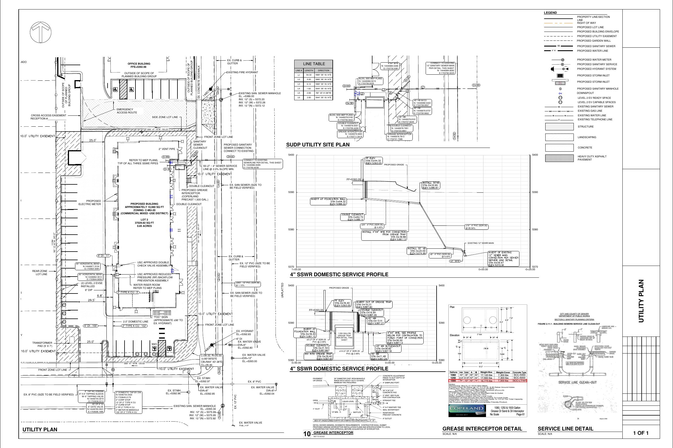 VIEW SHEET ↗Utilities
Water and sanitary service layouts, connections, profiles, and supporting details coordinated with the proposed site improvements.
 VIEW SHEET ↗Platting
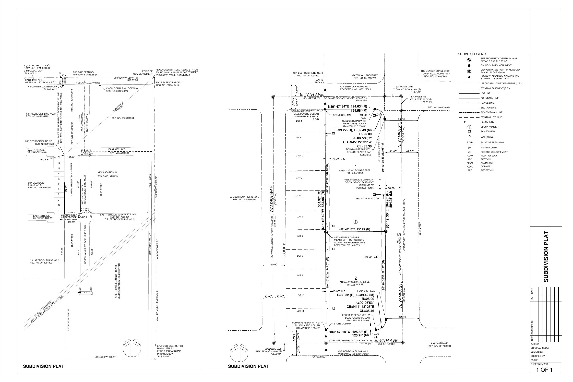
Boundary, lot, easement, monument, and legal survey information organized into a clear subdivision plat exhibit.
 VIEW SHEET ↗Platting
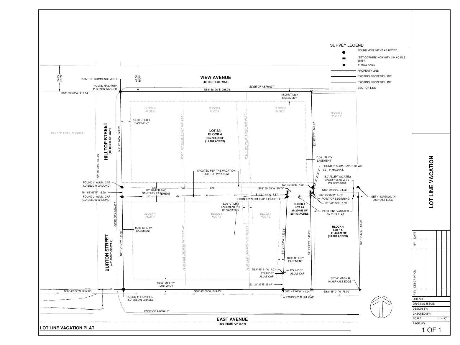
Existing and proposed parcel conditions, easements, monumentation, and vacation limits documented for review.
How I work
Good site-design support is more than lines on a plan. I look for a practical path through the project, coordinate with the design team, and document the direction clearly.
“Every line should have a reason, and every plan should help the field move forward.”
Review the property, survey, goals, constraints, and agency context.
Explore a coordinated approach to layout, grades, drainage, and utilities with the project team.
Prepare focused drawings for client review and coordination with the project’s licensed professionals when required.
 Brent M. SavoltFounder • Civil Engineer
Meet the founder
Brent M. Savolt is a civil engineer with 10 years of private-sector experience supporting residential and commercial site-development projects throughout Colorado. He earned a Bachelor of Science in Civil Engineering from Colorado State University and has developed practical expertise in site planning, grading, roadway design, water and sanitary utilities, stormwater, erosion control, and construction-plan production.
His experience includes working across multiple Colorado jurisdictions, coordinating project requirements, and turning complex site constraints into clear, buildable drawings. Bash Civil brings that hands-on perspective to clients who value responsive communication, practical problem-solving, and disciplined CAD work.
Start a conversation
Share the basics and I’ll help identify the right next step for your project.
BashCivil@outlook.com